TX8 Laser Scanner

  • Increase field productivity with less scans and number of stations
  • Confidence in data accuracy, clarity and richness
  • True performance in real world environments
  • Intuitive and easy to operate
  • Data integrates with other Trimble survey instruments

Real Works software

  • Trimble® RealWorks® software enables you to register,
    visualize, explore and manipulate as-built or scene point
    cloud data collected with Trimble 3D scanning and
    surveying instruments

Trimble SX10 Scanning
Total Station

  • Combines surveying, imaging and high speed
    3D scanning in one revolutionary solution
  • Trimble's high accuracy Lightning 3DM
    technology provides scanning range up to
    600 m and the smallest spot size in the
    industry—a mere 14 mm at 100 m
  • Utilizes Trimble Lightning scanning technology
     to scan up to 26,600 points per second captures
     a full dome scan in as little as 12 minutes
  • Improved Trimble VISION™ technology allows
     for fast and easy capture of high resolution
    site imagery
  • Complete integration with familiar workflows
    of Trimble Access and Trimble Business
    Center Software

Trimble TX6 Scanning
Total Station

  • NEW – entry level TX models for medium range
    3D scanning based on the same advanced
    time-of-flight Trimble Lightning Technology
    as the Trimble TX8.
  • Essential performance – effective high speed
    scanning with consistent accuracy over the
    full scan range. The Trimble TX6 delivers
    superior performance compared to other
    similarly priced scanners.
  • High quality data – quickly capture clean
    data even in bright sunlight. Be confident
    you will get the quality data you need with
    less setups to complete the project.
  • Integrated HDR camera – Trimble VISION™
    technology provides fast image capture to
    colorize scans with minimal impact on
    field productivity.
  • Integrated WLAN – enables wireless remote
    operation from Windows, Apple and Android
    mobile devices.
  • Effective ranges – choose from standard 80
    meter range or upgrade to extended 120
    meter range to match the standard scan
    range of the Trimble TX8.
  • Easy to operate – the intuitive onboard
    interface makes the TX6 easy to learn,
    reducing startup time. Users will immediately
    build confidence to successfully complete
    projects.

Trimble S7
Total Station

  • Surveying, imaging and 3D scanning in one
    powerful solution
  • Improved Trimble VISION technology for
    video robotic control, scene documentation
    and photogrametric measurements
  • Trimble DR Plus for long range and superior
    accuracy
  • Locate2Protect real-time equipment monitoring
    and Trimble InSphere equipment management
  • Complete field-to-office solution for quick data
    capture and processing
  • Seamless integration with the Trimble
    V10 Imaging Rover and GNSS receivers

Trimble EdgeWise

    Quickly produce intelligent models from point clouds.

    Trimble EdgeWise Software for
    3D Scanning Professionals

    Trimble EdgeWise software complements
    Trimble's 3D scanners and Trimble Real
    Works software to provide efficient end-to-end
    workflows in producing accurate BIM-ready models.
    Form scanned pointcloud data, the software
    automatically detects structural elements such as pipes,
    conduit and beams, then precisely models them using
    the dimensions and geometries included in a vast
    library of common elements.

    Trimble EdgeWise efficiently supports modeling of:

  • Pipes
  • Conduit
  • Structural steel
  • Ducts
  • Structural concrete
  • Walls
  • Windows
  • Doors

Trimble MX9

The Trimble® MX9 is a complete field-to-finish
mobile mapping solution that combines leading
edge hardware with intuitive field software and
a powerful, integrated office software workflow.

Read More

Trimble MX7

  • Rapid 360-degree geo-referenced image
    documentation
  • Precision positioning using GNSS and
    inertial referencing system
  • Deploys on all sizes of on and off-road
    vehicles
  • Rugged, reliable and lightweight design
    with low power consumption
  • Use with Trimble Mobile Imaging Capture
    software and Trimble Trident office software
    for data capture, extraction and analysis

Trimble MX Software

    Mobile mapping operations collect massive
    data sets very quickly. It is important to have
    the right software tools to simplify data
    organization, feature extraction, and customer
    collaboration. Trimble® MX software makes
    mobile mapping data processing and project
    management simple and efficient.

    Limitless Imagery, Point Clouds

    For More Information Limitless Imagery,
    Point Clouds Trimble MX software supports
    a variety of mobile mapping data—standalone
    imagery or imagery with point clouds.
    Neatly organize all single runs, bundle raw data
     into manageable projects, clean up artefacts,
    control positional accuracy, consolidate vital
    details and deliver excellent results.

    Key features:
  • Trimble MX Content Manager efficiently cleans
     and organizes data for deliverable production
  • Trimble MX Asset Modeler easily extracts
    features and measurements to populate
    geodatabases and other systems of record
  • Trimble MX Publisher simplifies the sharing
    of mobile mapping results with project
    stakeholders
  • Trimble MX Publisher Plug-ins simplify
    accessing mobile mapping data in many
    popular GIS and CAD environments

Trimble Trident

    Mobile imaging and laser scanning systems
    create immense datasets that can quickly
    overwhelm manual workflows, therefore
    Trimble mobile data capture systems come
    with Trident software to manage field data
    capture, interpret images and point clouds,
    provide tools for quality control and manually
    and automatically extract features.
    These capabilities allow you to quickly
    transform your land mobile data into
    geospatial intelligence.

    The Trident interface is designed for robust
    object positioning, measurement, point cloud
    classification, and data layer creation–ideal
    for the analysis of geo-referenced imagery
    and laser scanner data. Industry-leading
    functions accelerate projects and increase
    productivity, including key automated
    processes such as surface modeling, roadway
    sign and pole detection, lane marking detection,
    edge and breakline detection, road geometry,
    and clearance measurements.
    To learn more about Trimble Trident
    and the Trimble MX2.

Trimble X7 Scanner

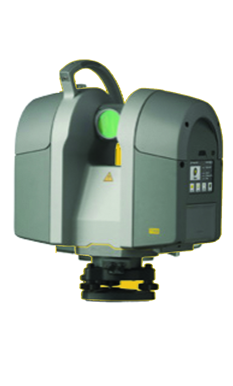
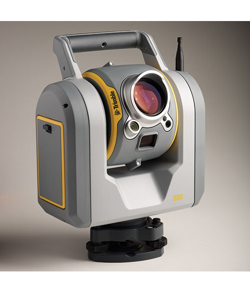
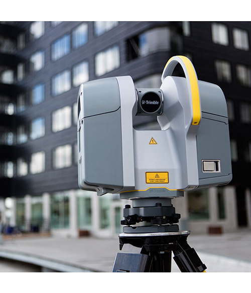
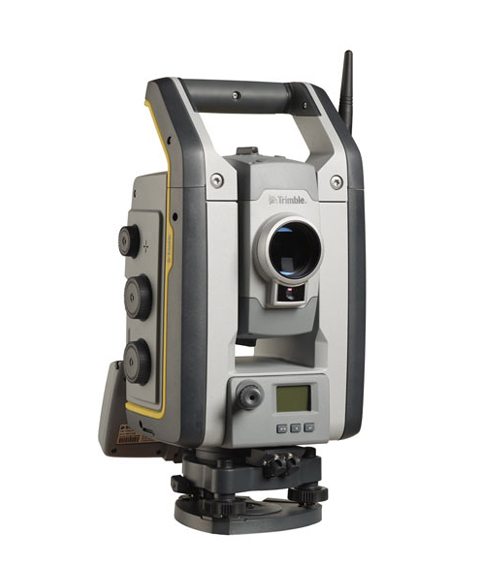
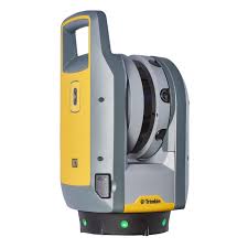
High-speed 3D laser scanning system with advanced technologies
to simplify adoption, increase efficiency and provide confidence
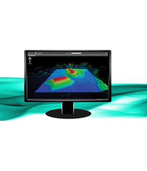
 in the field powered by Trimble Perspective.

Automatic Calibration: Complete confidence in everyscan with the
industry's first smart calibration system.No targets or user
interaction required. On-Demand calibration reports.

Self-leveling: Automatic survey grade level compensation.

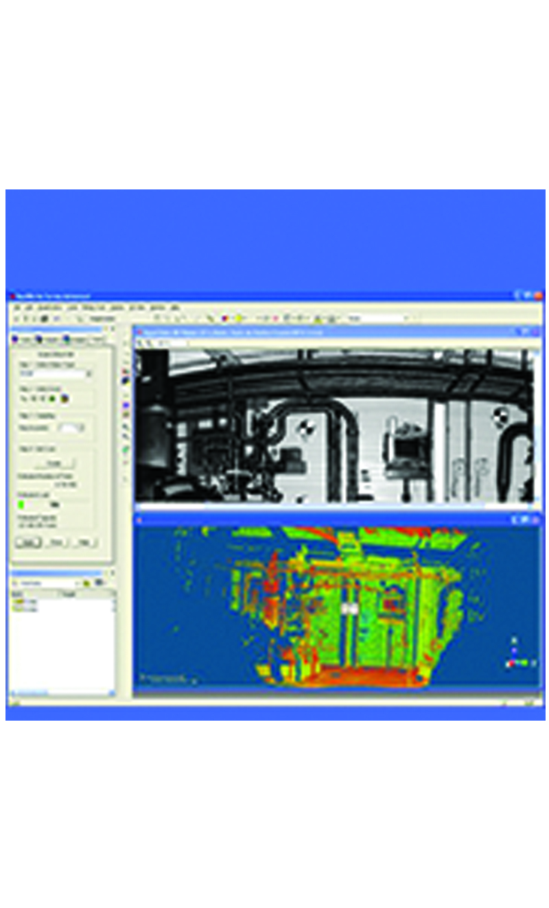
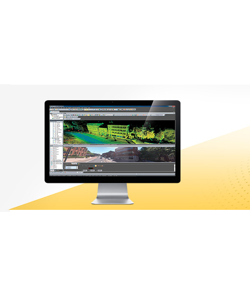
Trimble Registration Assist: Increase your field productivity
with the industry's most comprehensive automatic registration.

Laser Pointer: Provide visual confirmation of individual points
to be measured by Trimble Perspective.

Georeferencing: Link registered scans to a project coordinate system
in Trimble Perspective.

Read More