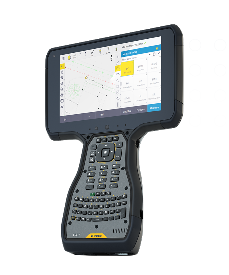
A leading field software used by professional surveyors around the world, Trimble® Access™ software delivers functionality that supports efficiency, accuracy and ease of use with simplified workflows.
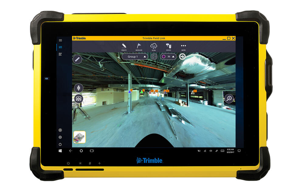
Enhance precision and productivity in the field with Trimble® FieldLink software. This flexible, scalable field layout and scanning solution simplifies construction workflows and boosts performance.
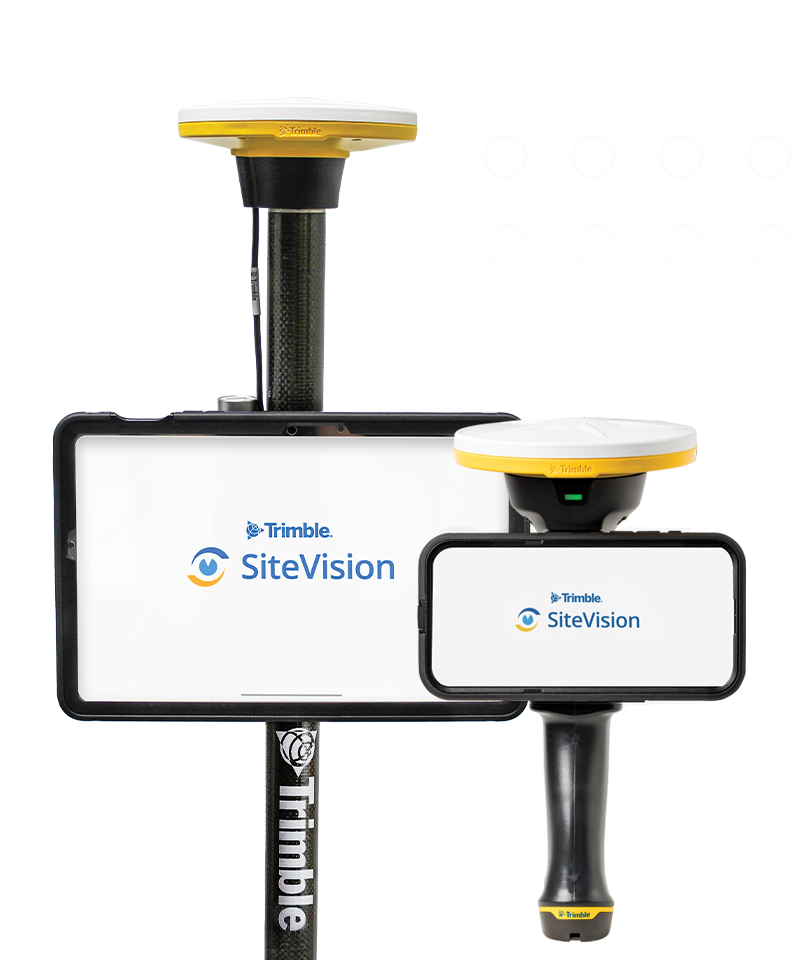
Trimble® SiteVision® is a real-time, in-field visualization software for collaborating on project progress and detecting design changes or conflicts. Choose your hardware configuration to collect images, GNSS points, EDM points or LiDAR scans.