Vehicle-mounted mapping systems for large-scale mapping projects.
Automated, continuous real-time monitoring and alerts.
Capture and analyze high-precision data to see the world more clearly than you thought possible. Trimble geospatial technology gives you the power to turn spatial data into intelligent decisions and make your mark with confidence.
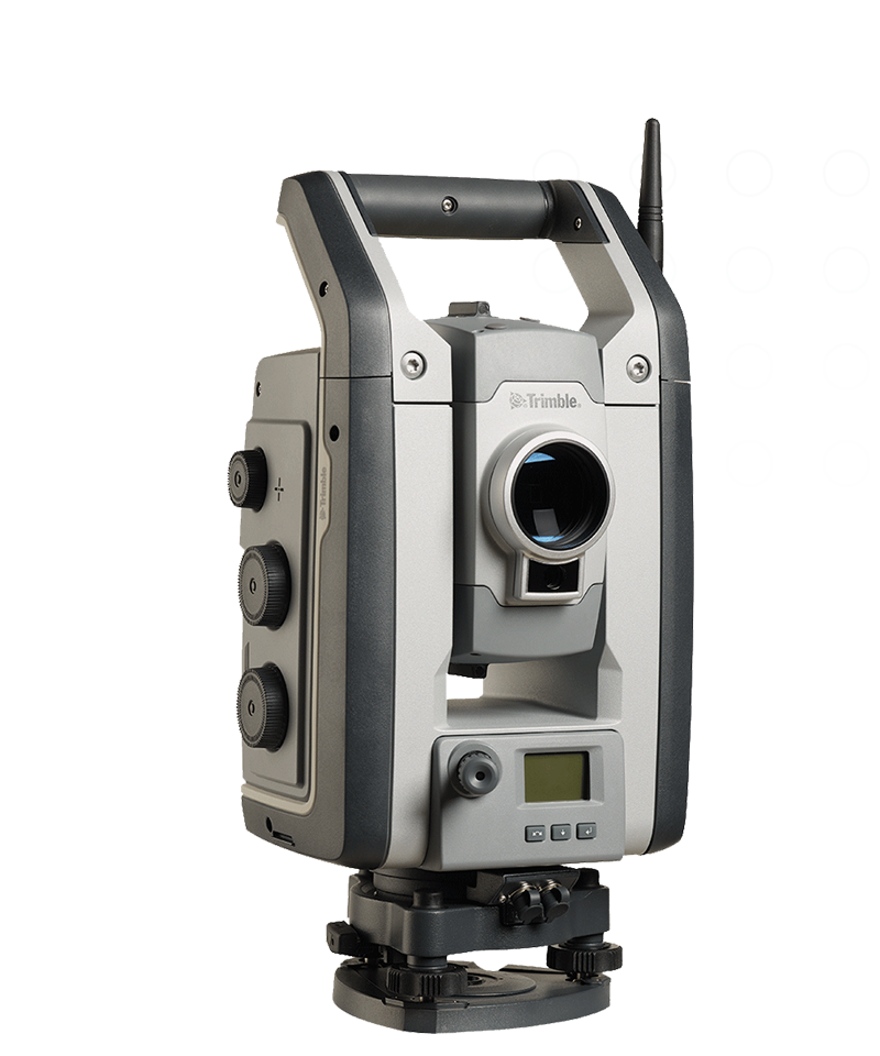
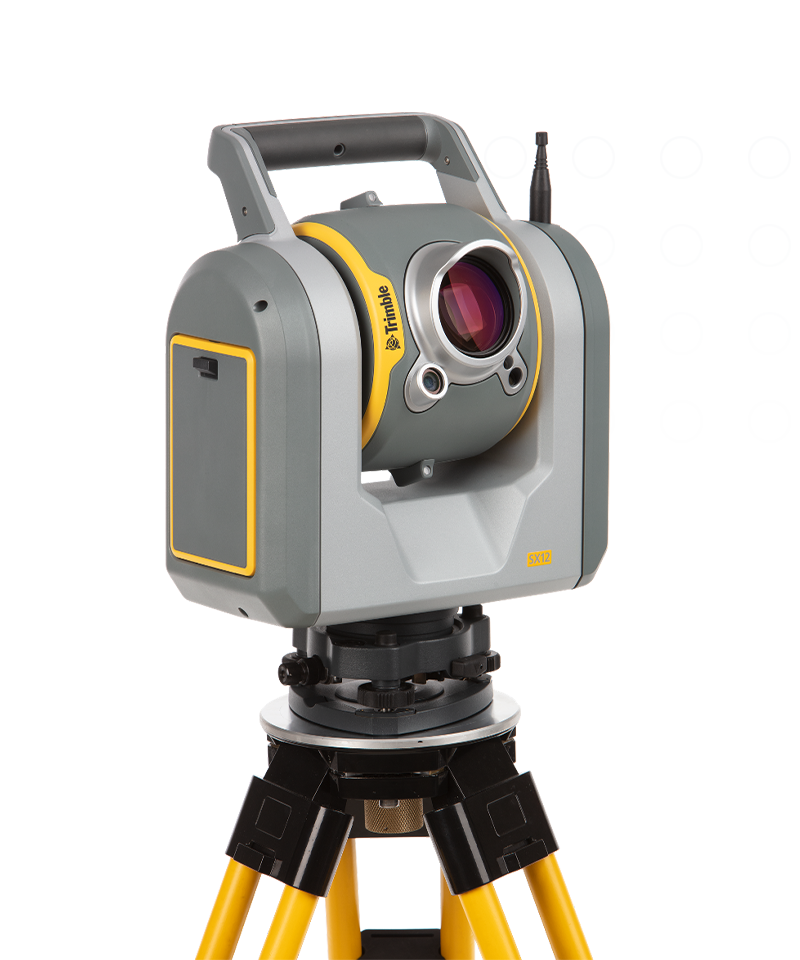
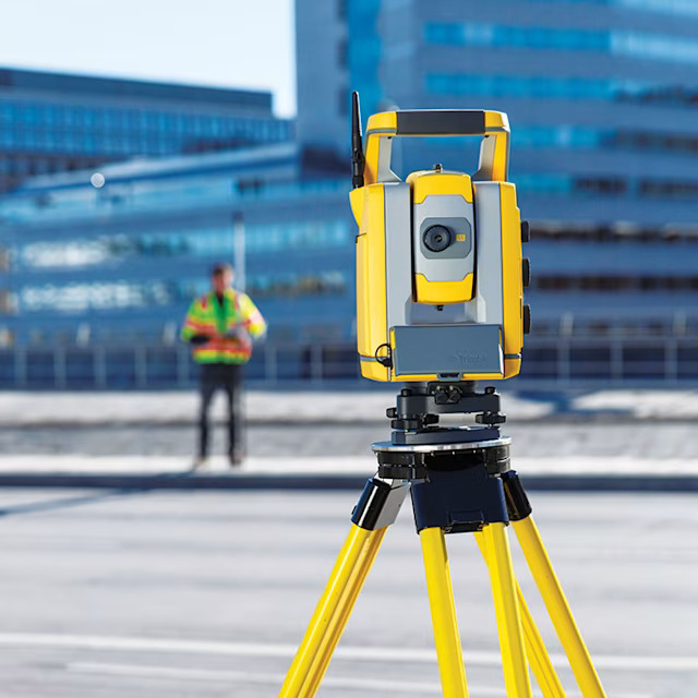
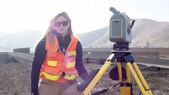
Scanning, robotic, Autolock® and mechanical total stations.
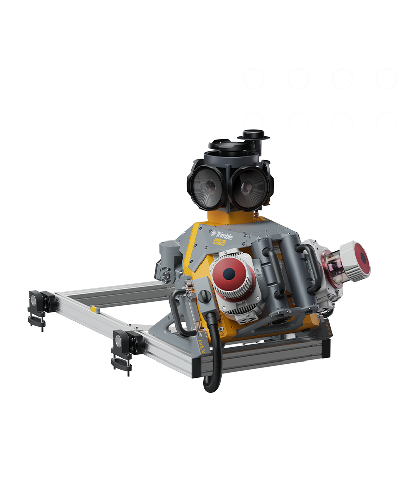
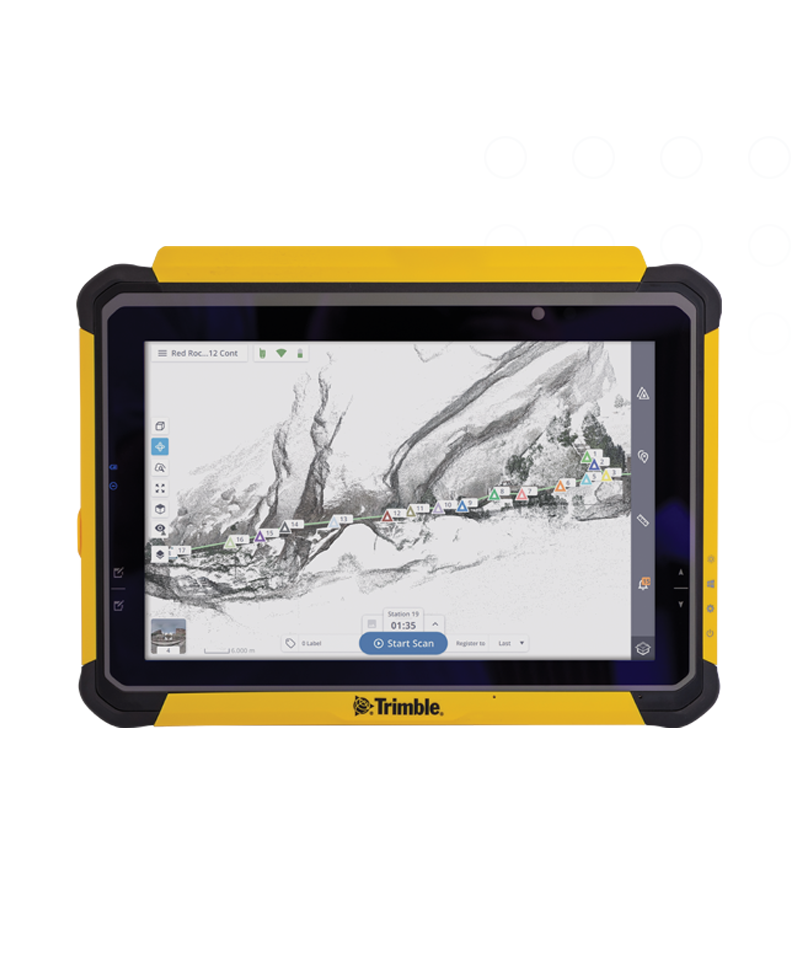
Terrestrial 3D laser scanning and imaging systems.
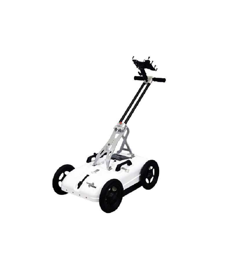
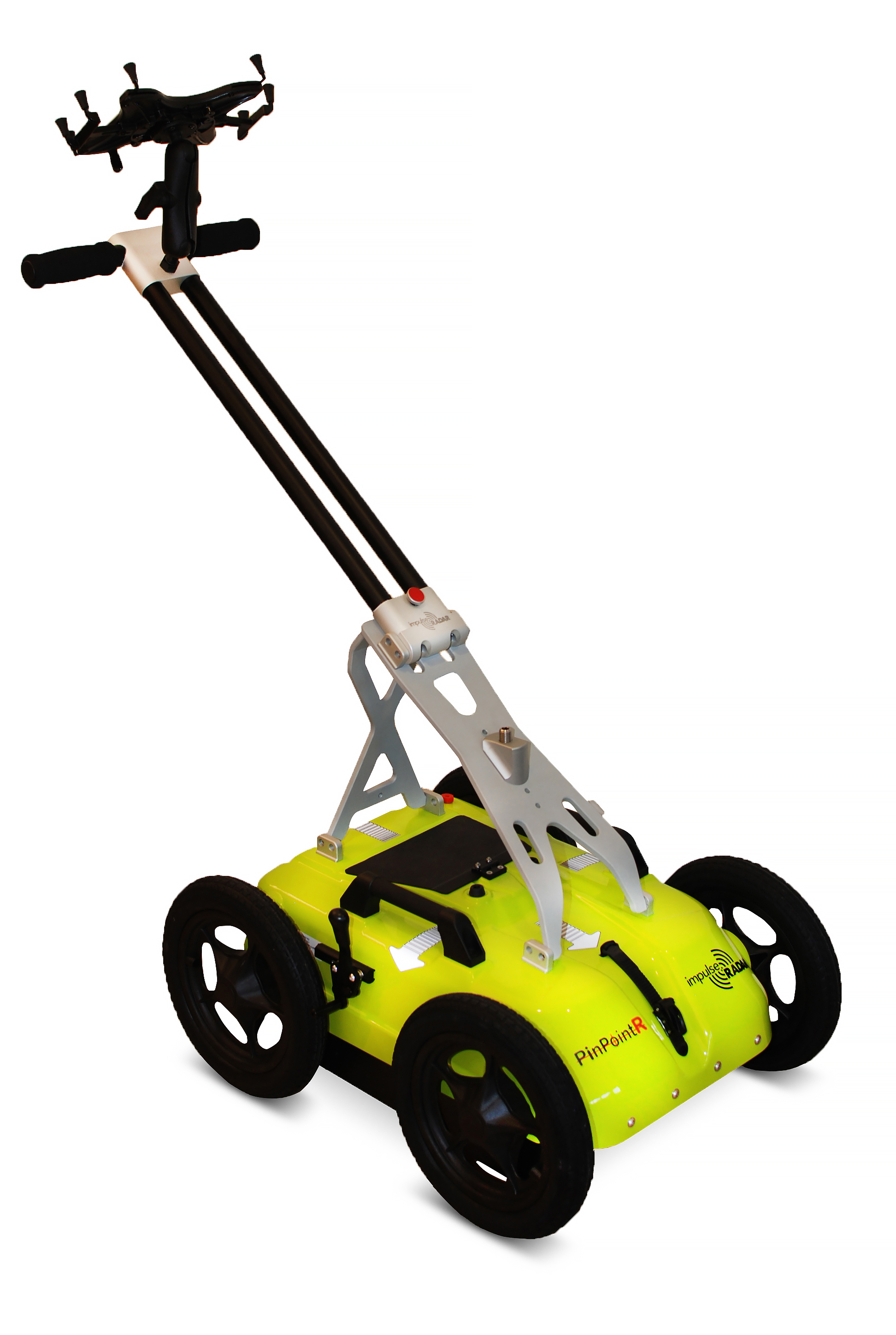
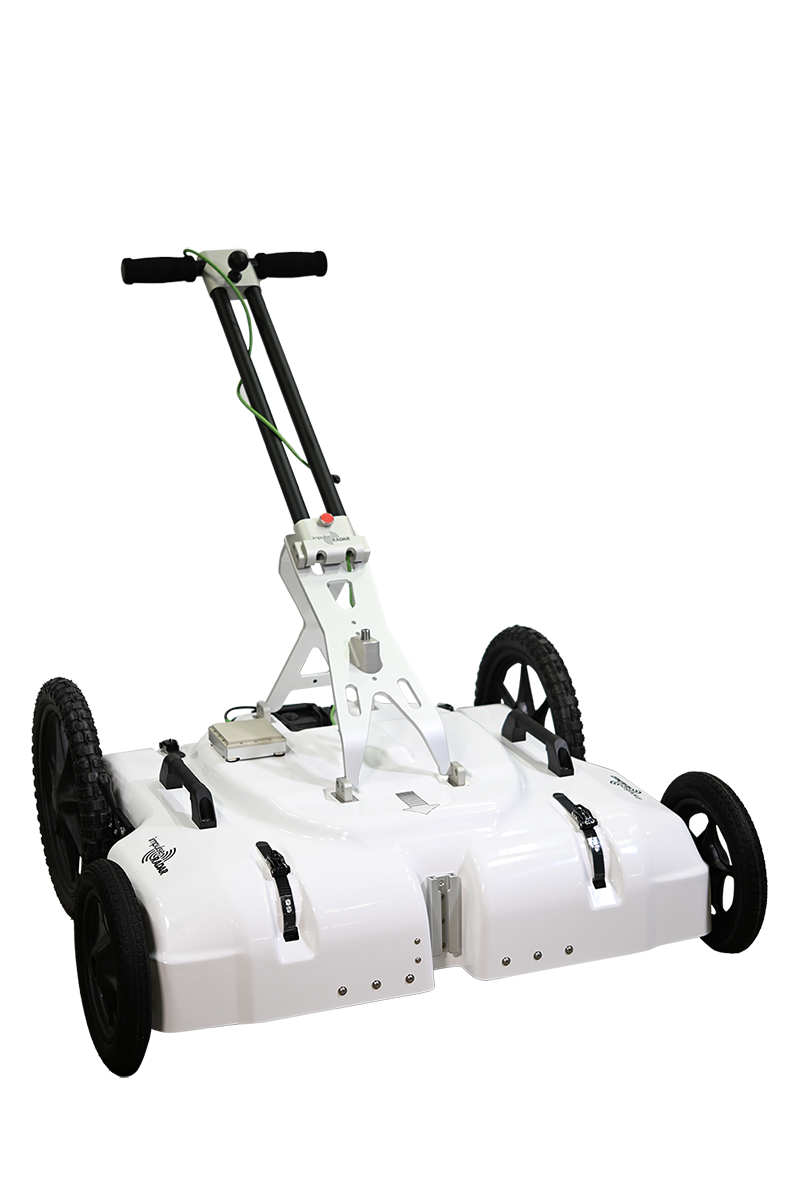
Explore what lies beneath the surface before you begin drilling. Here you will find our available solutions for GPR equipment.
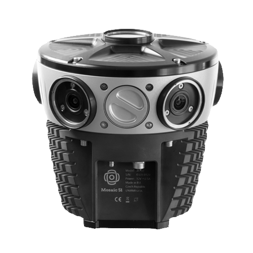
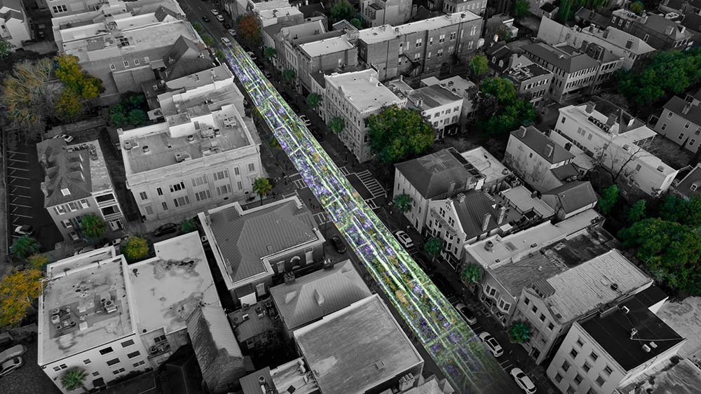
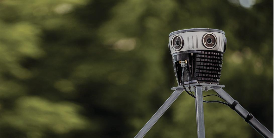
Where speed meets accuracy in 360º street view mobile mapping.
Produce the highest quality deliverables with confidence.
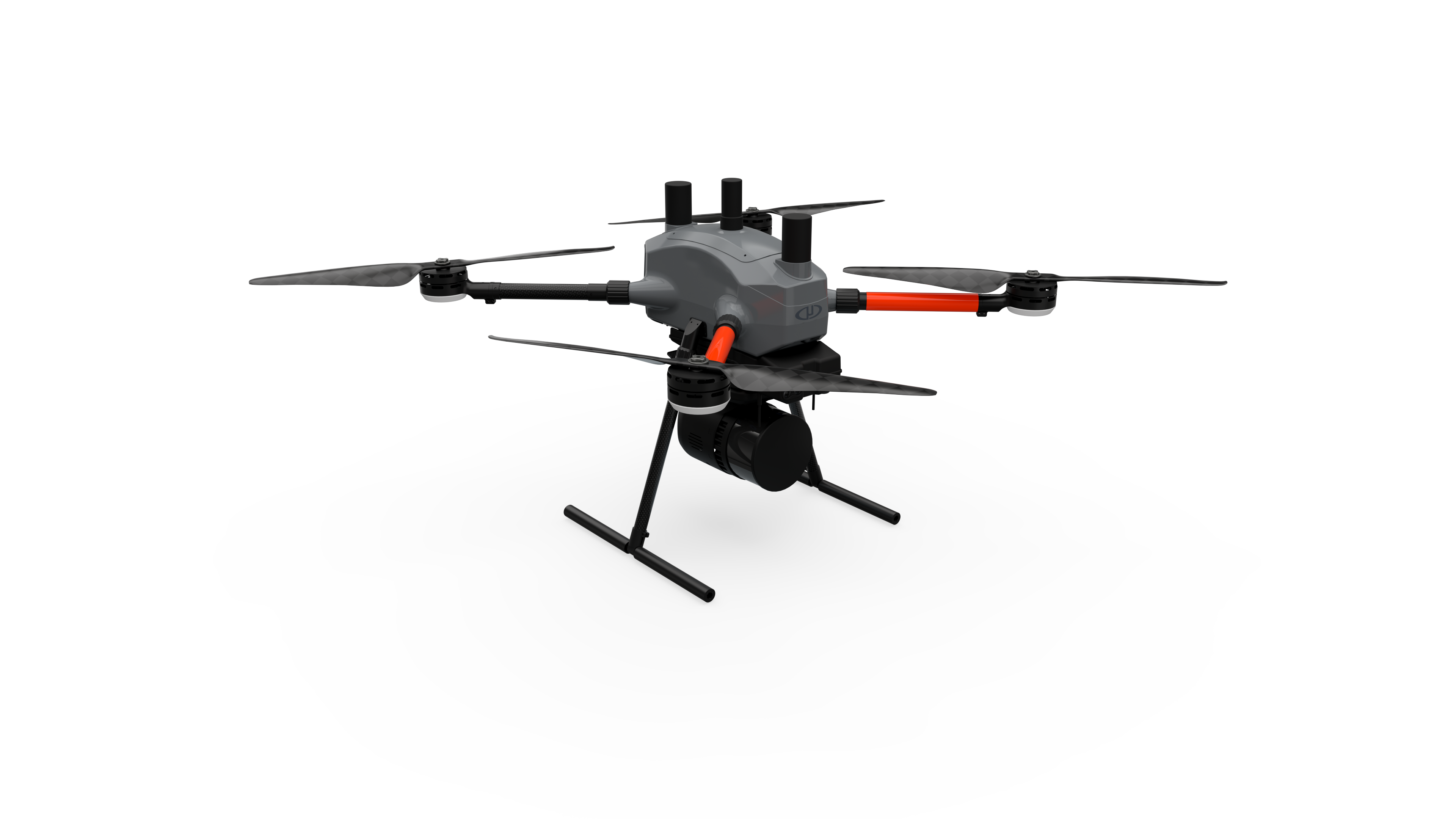
The most compact survey-grade Drone LiDAR surveying equipment on the market.
Autolock & Robotic Total Stations
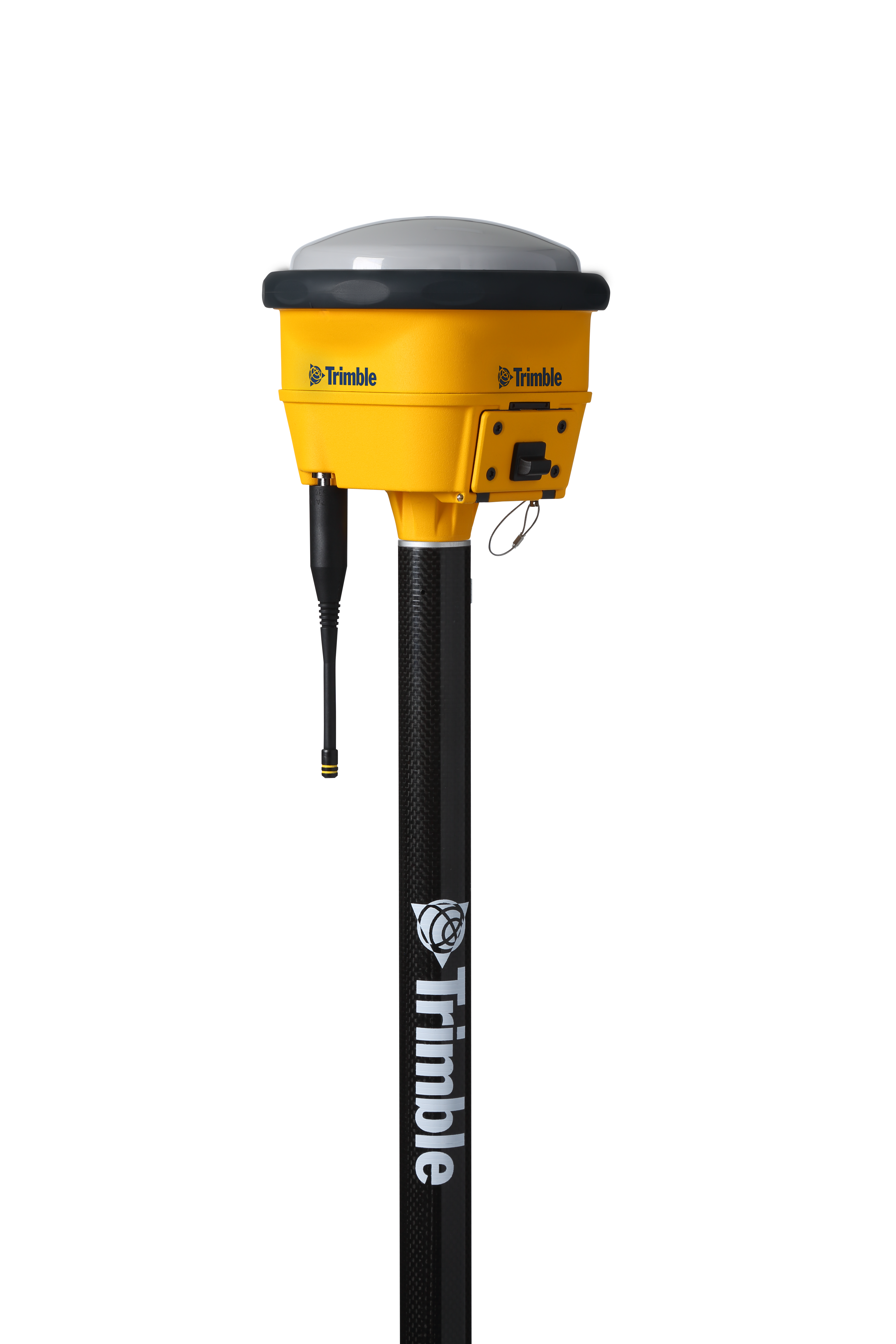
provide high-precision positioning
Scanning & Total Stations
Mobile Mapping System
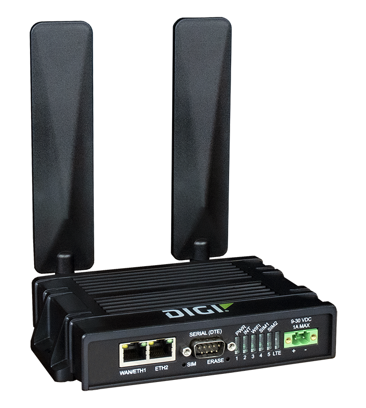
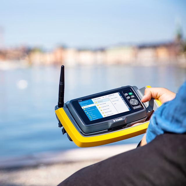
Connect to a better way to work
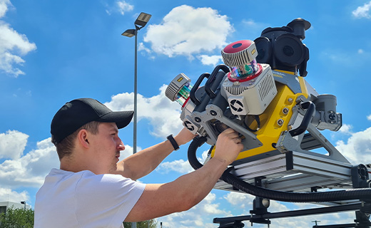
Series of Ground Penetrating
Perfect for professionals on the go.
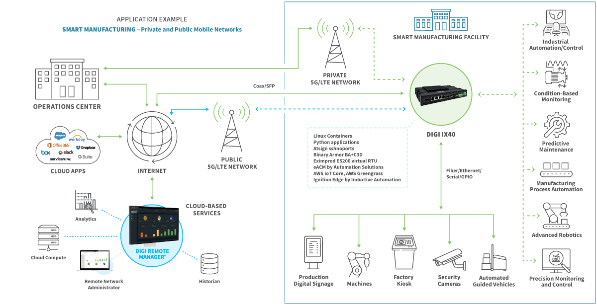
5G and LTE Cellular Routers