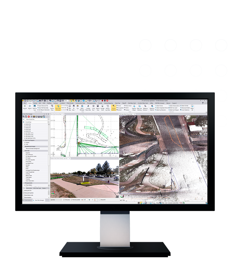
Trimble® Business Center (TBC) software enables surveyors to transform field data from GNSS receivers, total stations, laser scanners, mobile mapping systems, drones and more into high-quality, actionable information and client deliverables.
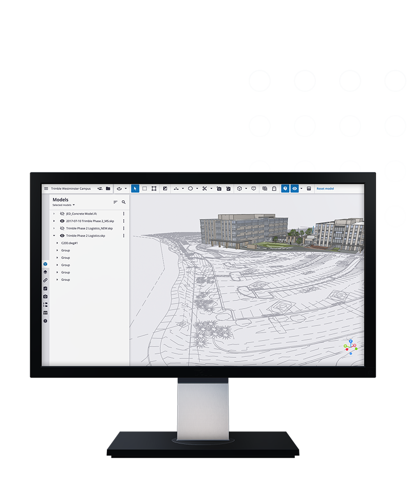
Trimble® Connect® cloud-based software makes it easy for multiple stakeholders to analyze, manage and collaborate on any construction project. Acting as a single source of truth for all data generated during the lifecycle of a construction project, Trimble Connect enables quick access to up-to-date constructible models and as‑built data.
Simplicity, efficiency, and intelligence, all in one
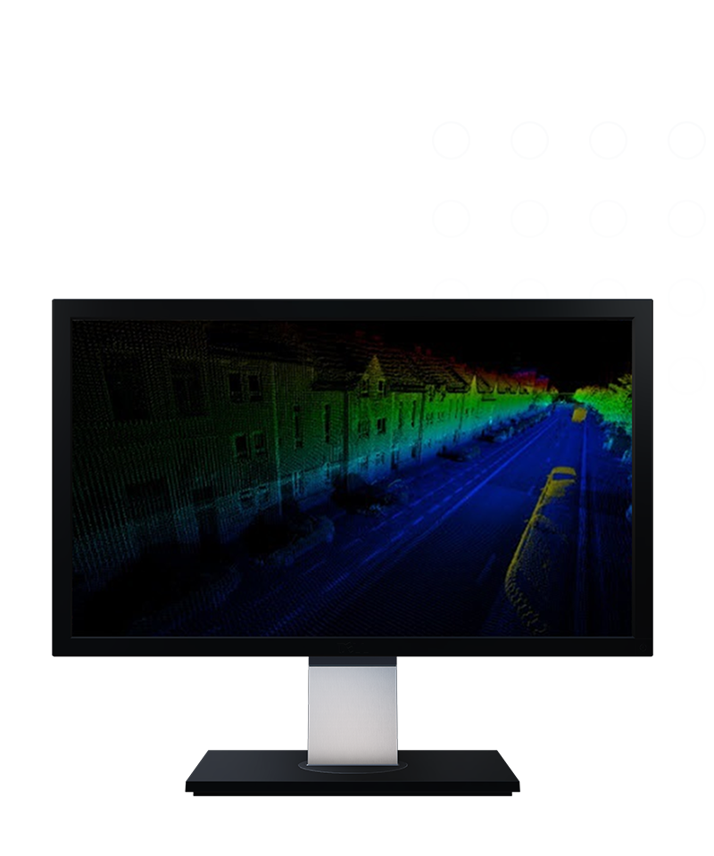
Trimble Reality Capture platform service
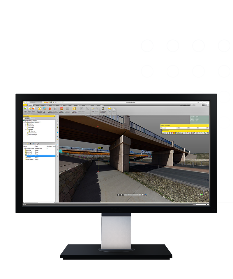
Import point cloud data from virtually any source, then quickly process, analyze and create high-quality deliverables with the automated tools and point cloud-specific workflows of Trimble® RealWorks™ software.
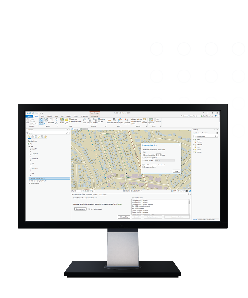
Trimble® Terra™ Office software helps mapping and GIS professionals manage high-accuracy Trimble TerraFlex™ data collection projects and integrate collected data into a variety of GIS systems-of-record, including Esri® ArcGIS®.
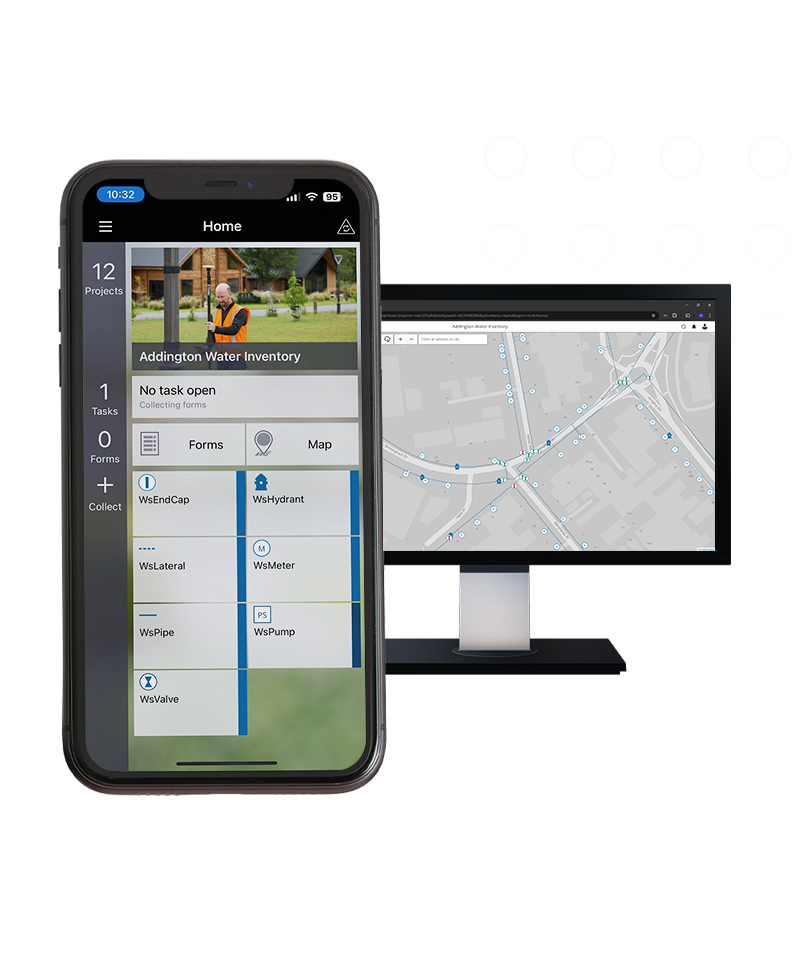
Unite easy, intuitive field data capture with high-accuracy GNSS positioning with Trimble® TerraFlex® software for a single, streamlined solution. Whether it's time to modernize or you're starting from scratch, TerraFlex checks all the boxes.